Research Areas

The hydroclimate systems laboratory focuses on advancing the understanding of complex interactions among atmospheric, hydrological, and land surface processes. The research develops innovative modeling frameworks and data-driven analyses to generate high-resolution climate projections and actionable insights. These efforts support the design of adaptive water management strategies and enhance resilience in the face of evolving hydroclimatic risks.
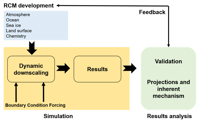
Integrated Hydroclimate Modeling

Integrated Hydroclimate Modeling and Downscaling

Developing coupled frameworks that merge regional climate models with hydrological simulation tools to generate high-resolution projections.

Learn More
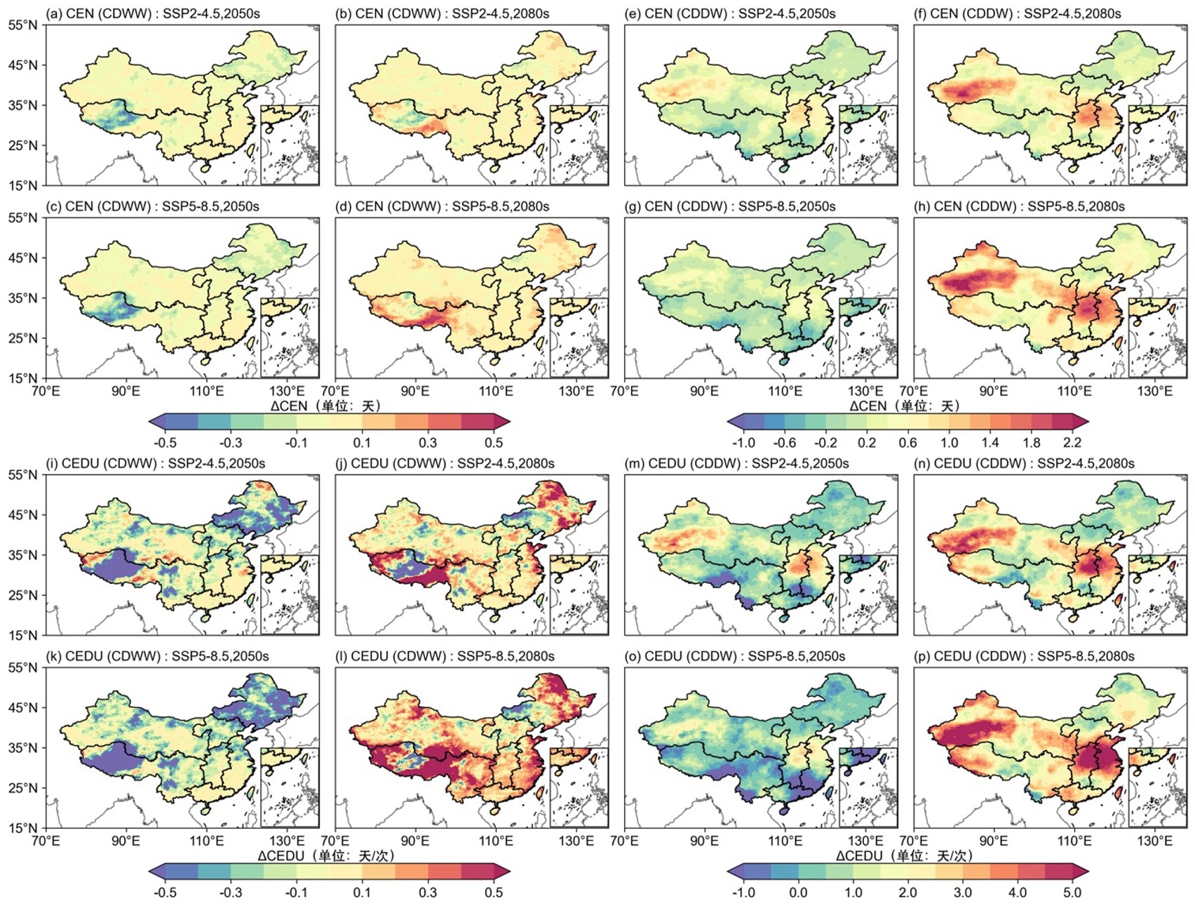
Extreme Hydroclimatic Events

Analysis of Extreme Hydroclimatic Events

Employing statistical techniques to identify and project extreme events like heatwaves, droughts, and compound climate conditions.

Learn More
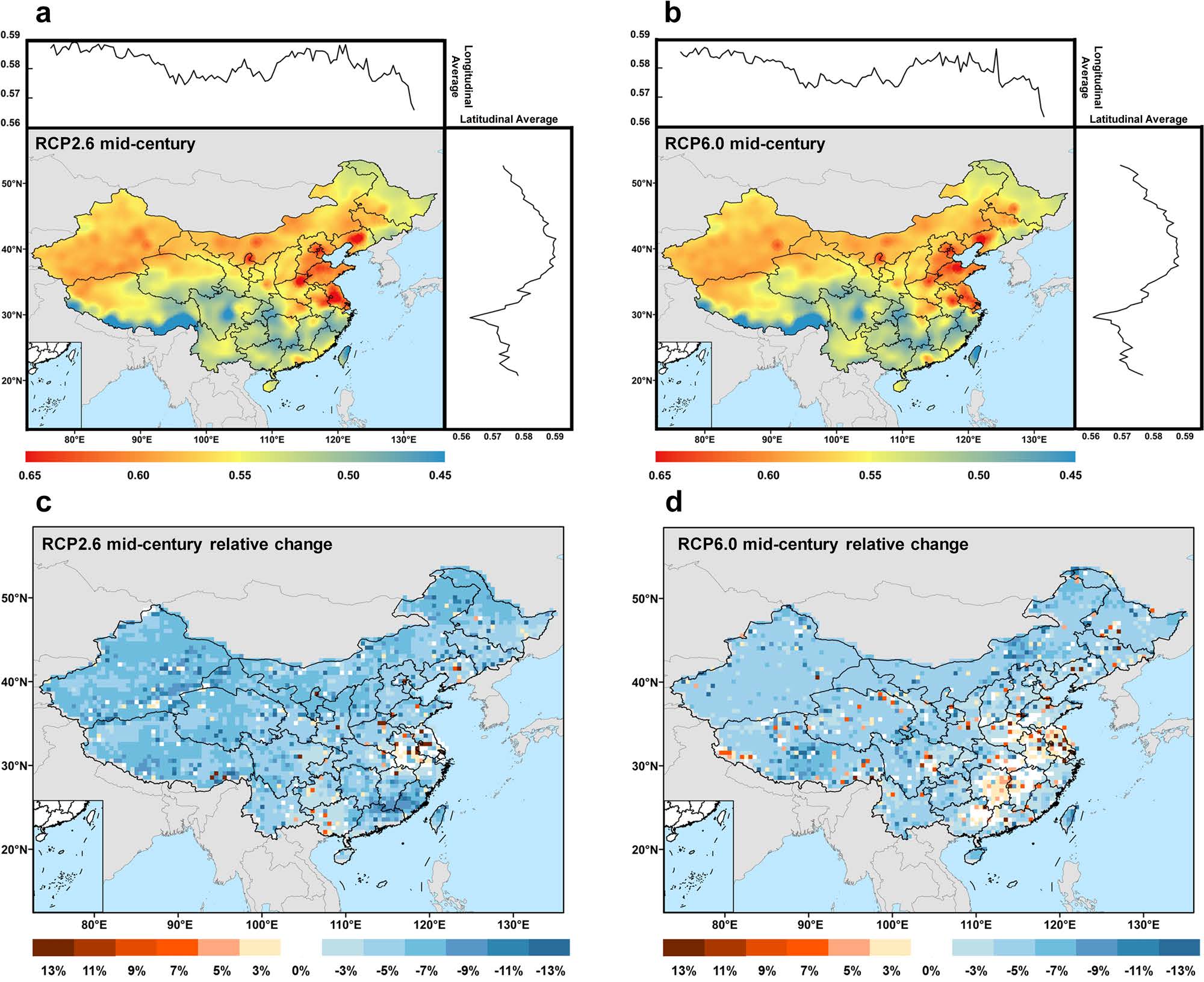
Water Resources Management

Water Resources and Runoff Dynamics

Evaluating water sustainability through analysis of stress indices and runoff dynamics across major river basins.

Learn More
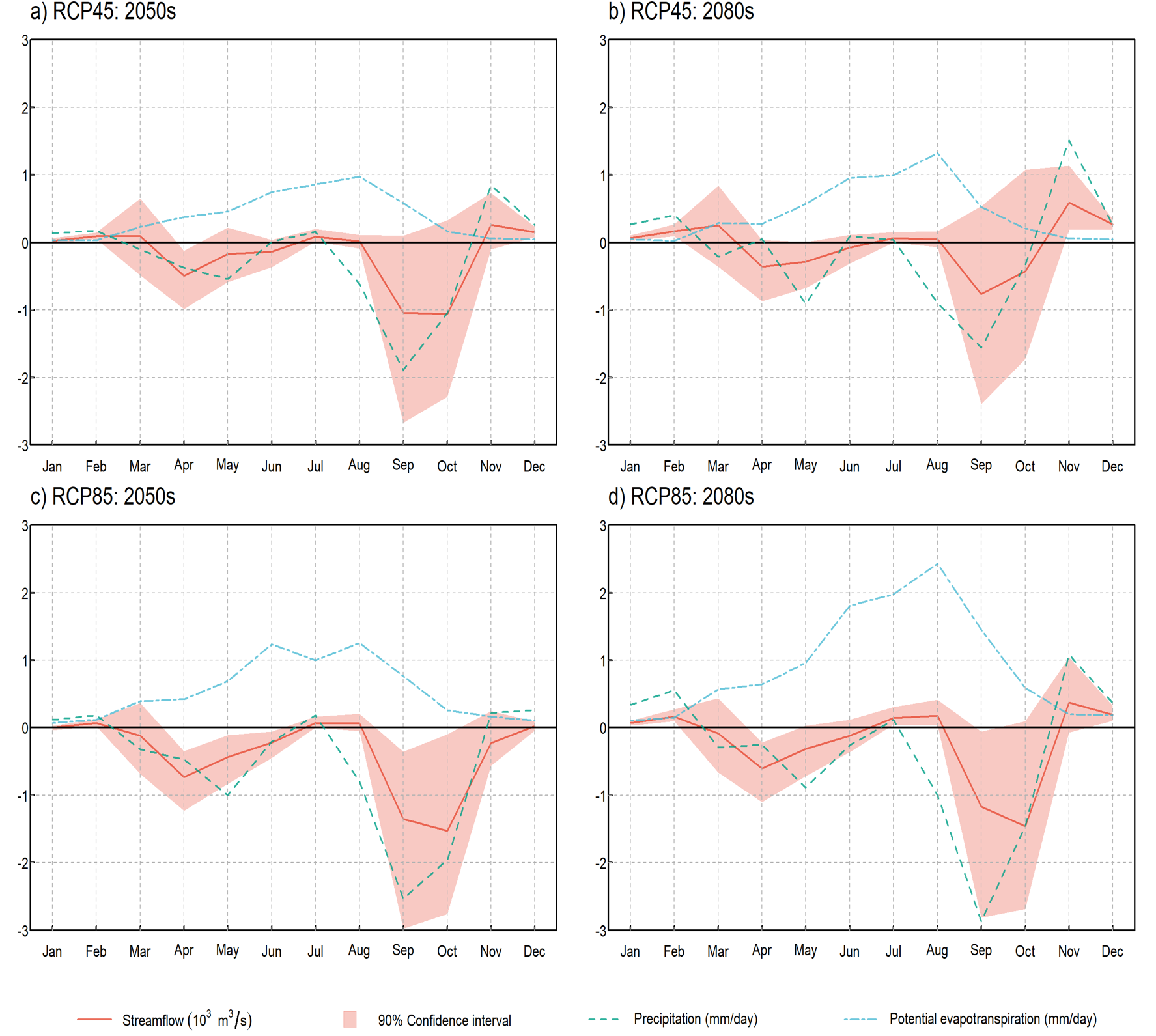
Hydroclimate Resilience

Innovative Solutions for Hydroclimate Resilience

Translating scientific findings into practical applications through decision support tools and adaptive management frameworks.

Learn More
Integrated Hydroclimate Modeling and Downscaling

1. Integrated Hydroclimate Modeling and Downscaling

This subarea centers on the development of coupled dynamical–statistical frameworks that merge regional climate models with hydrological simulation tools. The approach integrates models such as PRECIS with advanced statistical techniques—including dynamical–copula methods and bias correction algorithms—to generate high-resolution time series of key hydroclimatic variables (e.g., precipitation, temperature, runoff). These integrated models are designed to resolve fine-scale spatial and temporal variability, enabling detailed analyses of water availability and flood risk in river basins. Such methodologies also facilitate the assessment of uncertainty by refining projections from global climate models, ultimately informing water resource management and infrastructure planning.

Analysis of Extreme Hydroclimatic Events

2. Analysis of Extreme Hydroclimatic Events

This research domain involves the statistical identification and projection of extreme hydroclimatic events. Advanced techniques—such as spatiotemporal geographic weighted regression and stepwise regression—are employed to quantify the frequency, duration, and intensity of extremes like heatwaves, droughts, and compound events (e.g., concurrent high temperatures and anomalous precipitation conditions). In addition, the role of large-scale teleconnection patterns (for instance, ENSO and AMO) in modulating these extremes is thoroughly examined. By elucidating the underlying physical mechanisms, this subarea contributes to the development of robust risk assessment models and early warning systems that are crucial for mitigating impacts on agriculture, ecosystems, and urban infrastructure.

Water Resources and Runoff Dynamics in River Basins

3. Water Resources and Runoff Dynamics in River Basins

Focused on evaluating water resource sustainability, this subarea examines water stress indices and runoff dynamics across major river basins. Comprehensive analyses incorporate both natural factors (e.g., surface runoff, snowmelt) and anthropogenic influences (e.g., water withdrawal for agriculture and industry). Spatially explicit modeling techniques are used to project future changes in water availability under multiple emission scenarios, revealing regional disparities in water stress. These studies assess how variations in vegetation cover and land-use changes interact with climate variability to modify runoff patterns, thereby providing critical insights for adaptive water management policies and for addressing potential risks of water scarcity.

Innovative Solutions for Hydroclimate Resilience

4. Innovative Solutions for Hydroclimate Resilience

Translating scientific findings into practical applications is a cornerstone of this research. This subarea focuses on developing decision support tools and adaptive management frameworks that incorporate real-time data assimilation from remote sensing and ground observations. Uncertainty quantification methods—such as mixed-level factorial analysis and Bayesian model averaging—are employed to identify dominant sources of variability in hydroclimatic projections. The resulting strategies include optimized water allocation systems, adaptive infrastructure design, and scenario-based planning that can be tailored to specific regions. These innovative solutions are designed to enhance resilience in water management systems, ensuring that policies and engineering practices are robust against future hydroclimatic changes.